RV-Safe Navigation with CarPlay & Android Auto: What Every RVer Needs to Know
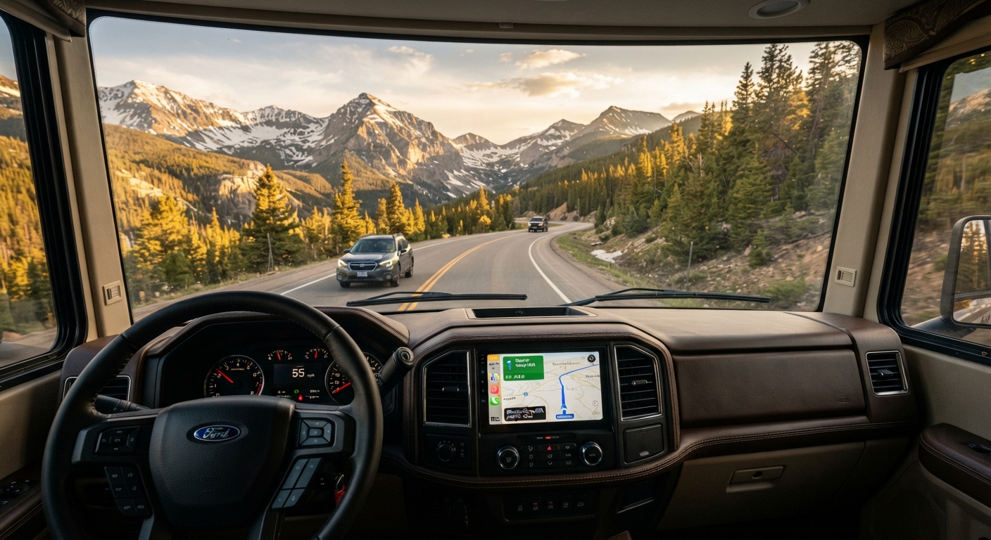
You're 20 miles into your route when you see it: a Low Clearance Bridge Ahead sign with a height limit that's six inches shorter than your RV. Your GPS had no idea. You're now scrambling to find a turnaround spot on a two-lane highway while towing a vehicle.
This scenario plays out more often than it should — because standard navigation apps like Google Maps and Apple Maps weren't designed for RVs. They optimize for cars, and what works for a sedan can be dangerous, illegal, or impossible in a motorhome or travel trailer.
If you've experienced this firsthand (or heard the horror stories), you already know: RVers need navigation built specifically for their rigs. And when that navigation integrates seamlessly with CarPlay and Android Auto, it becomes an essential tool rather than a fragile workaround.
This guide breaks down what RV-safe navigation really means, why dash integration matters, and what to look for in an RV navigation app.
Why Standard GPS Apps Fail RVers
Google Maps is excellent at getting cars from Point A to Point B. It's terrible at accounting for the realities of driving a 13-foot-tall, 40-foot-long, 15-ton vehicle with propane tanks and slide-outs.
Here's what standard navigation apps miss:
Bridge Clearances
Low bridges are the most obvious danger. Standard GPS has no awareness of your RV's height. One wrong turn can mean roof damage, mirrors ripped off, or worse — a collision that closes a major road and makes the evening news.
Weight Limits
Bridges, tunnels, and certain roads have weight restrictions. Your 30-foot Class A with full tanks and gear can easily exceed those limits, and standard GPS won't warn you.
Propane Restrictions
Many tunnels prohibit vehicles carrying propane. Your GPS will happily route you through the Holland Tunnel or Baltimore Harbor Tunnel without mentioning that it's illegal to drive through with LP gas onboard.
Sharp Turns and Narrow Roads
A route that's perfectly fine for a car can be a nightmare in an RV. Tight turns, narrow residential streets, and steep grades don't register as problems in standard navigation — until you're stuck halfway through a hairpin turn with no room to maneuver.
No Campground Fit Data
Standard GPS can get you to a campground's address, but it has no idea whether your 38-foot fifth wheel will actually fit in the sites. RV-safe navigation integrates campground length limits, hookup types, and site availability into the routing decision.
What Makes Navigation "RV-Safe"?
RV-safe navigation isn't just regular GPS with an RV icon. It's a fundamentally different routing algorithm that accounts for vehicle-specific constraints.
Here's what true RV-safe navigation includes:
Customizable RV Profile
You enter your rig's exact dimensions:
- Height (including roof AC units, antennas, solar panels)
- Length (motorhome body or truck + trailer combo)
- Weight (GVWR or actual loaded weight)
- Width (with slide-outs retracted)
The app uses this profile to filter out routes that won't work for your specific setup.
Real-Time Routing Around Restrictions
The navigation engine actively avoids:
- Bridges and underpasses below your clearance height
- Roads with weight limits below your RV's weight
- Tunnels that prohibit propane or hazmat
- Sharp turns and roads too narrow for large vehicles
- Steep grades that exceed safe towing limits
Turn-by-Turn Voice Guidance
RV-safe navigation isn't just a suggested route on a map — it's full turn-by-turn voice directions optimized for your rig, so you can focus on driving rather than checking your phone every mile.
Offline Maps
Cell coverage is spotty in many RV destinations. Reliable RV navigation works offline, so you're never stranded without directions in the middle of nowhere.
Points of Interest for RVers
Forget generic "restaurants nearby" suggestions. RV navigation highlights:
- Dump stations and potable water
- Propane refill locations
- RV-friendly fuel stops (diesel, long pull-through lanes)
- Truck stops with RV parking
- Campgrounds with real-time availability and rig-fit data
Why CarPlay & Android Auto Integration Matters
You can use an RV navigation app on your phone mounted to a vent clip. But once you've experienced navigation through CarPlay or Android Auto, you won't want to go back.
Here's why dash integration is a game-changer:
Safer Line of Sight
CarPlay and Android Auto put navigation directions on your vehicle's built-in display — right in your line of sight. You're not glancing down at a phone on your lap or straining to see a device mounted to the side. Your eyes stay closer to the road.
Larger, Clearer Display
Most modern RV dashboards and aftermarket head units have 7- to 10-inch displays. That's significantly larger and easier to read than even the biggest smartphone, especially in bright sunlight or while wearing polarized sunglasses.
Hands-Free Operation
With Siri or Google Assistant integration, you can control navigation, make changes, and get information without touching anything. "Hey Siri, find the nearest dump station." "Hey Google, avoid tolls."
This is especially valuable when you're towing and don't want to take your hands off the wheel.
Seamless Audio Integration
Turn-by-turn directions play through your vehicle's speakers, automatically ducking music or podcasts when guidance is needed. No more fiddling with Bluetooth pairing or missing directions because the radio was too loud.
No More Phone Mounts
With dash integration, your phone stays in your pocket or charging dock. No suction cup failures, no vibration issues, no glare on the screen. The navigation interface is built into the vehicle.
Works with Your Existing Setup
You don't need to buy a dedicated RV GPS unit (which can cost $300–$600) if your vehicle already has CarPlay or Android Auto. You just need an RV navigation app that supports dash integration — and you're good to go.
How VistaBound's RV Navigation Works
Most RV trip planners focus on building itineraries and finding campgrounds. Then you're on your own for navigation — usually copy-pasting addresses into Google Maps and hoping for the best.
VistaBound is different. It integrates RV-safe navigation directly into the trip planning flow, so the route that gets you to each campground is already optimized for your rig before you hit the road.
Here's how it works:
Set Your RV Profile Once
When you sign up, you enter your RV's height, length, weight, and any restrictions (like propane avoidance). VistaBound uses this profile for every route and every campground recommendation.
AI Plans Your Trip with Navigation in Mind
When VistaBound's AI co-pilot builds your itinerary, it doesn't just pick campgrounds randomly. It checks:
- Whether your rig fits the site length limits
- Whether the route to that campground is RV-safe
- Drive time based on real RV speeds (not car speeds)
- Points of interest and stops along the way
Turn-by-Turn Directions for Each Leg
Once your trip is planned, VistaBound provides turn-by-turn RV-safe navigation for each day's drive. No need to manually export waypoints or load addresses into a separate app.
CarPlay & Android Auto Support
VistaBound works natively with CarPlay and Android Auto, so directions appear on your dash display with voice guidance, offline map support, and hands-free control.
Offline Maps Included
You can download maps for your entire route before you leave. If you're driving through rural Montana or remote Utah, you'll still have full navigation even when cell service disappears.
Real-Time Rerouting
If you need to detour (road closure, weather, last-minute decision to stop somewhere), VistaBound recalculates an RV-safe alternative on the fly — still accounting for your height, weight, and propane restrictions.
Built-In Campground Fit Matching
Because VistaBound knows your rig dimensions and has live campground data, it can tell you whether a site will actually fit your RV before you waste time navigating there. If a campground lists a 32-foot max and you're towing a 35-foot trailer, VistaBound won't suggest it in the first place.
Should You Use a Dedicated RV GPS Device Instead?
Standalone RV GPS units (like Garmin RV models) have been the gold standard for years. They're purpose-built, reliable, and don't require a data connection for routing.
But they have major drawbacks:
High Upfront Cost
Garmin RV GPS devices range from $300 to $600+. If you already have a smartphone and a vehicle with CarPlay or Android Auto, that's a tough sell for functionality you can get through an app.
Outdated Maps
Standalone units require periodic map updates, which can cost $50–$100+ per year or require a subscription. Roads change, new restrictions are added, and outdated data can send you into the same trouble you were trying to avoid.
No Integration with Trip Planning
A standalone GPS is just navigation. It doesn't help you plan where to stop, which campgrounds have availability, or whether a site fits your rig. You're still using separate tools for planning, booking, and navigating.
Clunky Interface
Most dedicated RV GPS units have resistive touchscreens and outdated UI design. Compared to the responsiveness of modern smartphone apps and CarPlay/Android Auto, they feel slow and frustrating to use.
Takes Up Dash Space
You need to mount the device somewhere on your dash, which often blocks vents, controls, or sightlines. With a CarPlay/Android Auto app, everything runs through your existing display.
The bottom line: If you already own a Garmin RV GPS and it works for you, keep using it. But if you're starting from zero, a modern RV navigation app with CarPlay/Android Auto support is a better investment — especially when it's part of a complete trip planning platform like VistaBound.
What to Look for in an RV Navigation App
Not all RV navigation apps are created equal. Here's what to check before you commit:
✅ Customizable RV Profile
The app should let you input height, length, weight, and width — and actually use that data to route around restrictions.
✅ CarPlay & Android Auto Support
If your vehicle supports it, the app should too. Dash integration is too valuable to skip.
✅ Offline Map Downloads
You should be able to download maps for your planned route in advance, so navigation works even without cell service.
✅ Propane & Hazmat Avoidance
Some tunnels and routes prohibit propane tanks. The app should let you toggle this restriction on or off.
✅ Real Campground Data
Bonus points if the app integrates campground information (site lengths, availability, hookups) so you're not navigating to a site that won't fit your rig.
✅ Trip Planning Integration
The best RV navigation apps don't just give you directions — they help you plan where to stay, what to see, and how to structure your entire trip.
✅ Active Development & Updates
Road data changes constantly. Make sure the app is actively maintained with regular updates, not abandoned software with 2019 maps.
Common RV Navigation Mistakes (And How to Avoid Them)
Even with RV-safe navigation, mistakes happen. Here are the most common pitfalls:
Trusting Google Maps "Just This Once"
It's tempting to think, "It's just a quick side trip, Google Maps will be fine." Don't. One low bridge or propane-restricted tunnel can ruin your day. Always use RV-safe routing, even for short detours.
Not Double-Checking Heights After Modifications
If you've added solar panels, a roof-mounted AC unit, or a satellite dish since you entered your RV profile, update it. An extra six inches can be the difference between clearing a bridge and hitting it.
Ignoring Local Warnings
If you see "No Trucks" or "RV Traffic Use Alternate Route" signs, listen to them — even if your GPS says to keep going. Local signage reflects on-the-ground realities that even the best navigation software may not capture.
Forgetting to Download Offline Maps
Don't wait until you're already out of cell range. Download offline maps for your entire planned route (and surrounding areas) before you leave.
Relying Only on Navigation Apps
RV-safe navigation is excellent, but it's not perfect. Always check satellite view before unfamiliar turns, read campground reviews for access issues, and trust your gut if a route feels sketchy.
The Future Is RV-Safe + Dash-Integrated
The days of white-knuckling it through a low-clearance underpass or getting stuck on a narrow residential street because Google Maps sent you there are ending.
Modern RV navigation apps with CarPlay and Android Auto integration give you the same seamless, confidence-inspiring experience that car drivers have always had — but built specifically for the unique constraints of RV travel.
You get:
- Routes that actually work for your rig
- Turn-by-turn voice directions on a large dash display
- Offline maps for remote areas
- Hands-free control through Siri or Google Assistant
- Real campground fit data so you never navigate to a site that won't fit
- Trip planning and navigation in one integrated platform
If you're still relying on standard GPS apps and hoping for the best, it's time to upgrade.
Try VistaBound's RV-Safe Navigation (Free, No Credit Card)
VistaBound combines AI trip planning, live campsite availability, and RV-safe navigation with full CarPlay and Android Auto support in one platform.
Plan your entire trip — day-by-day itinerary, rig-fit campground matching, points of interest — and get turn-by-turn RV-safe directions for every leg, all integrated into your dash display.
Best part? You can try it free. No credit card required.
Sign up for free at vista-bound.com and see how AI-powered trip planning + RV-safe navigation changes your next road trip.